

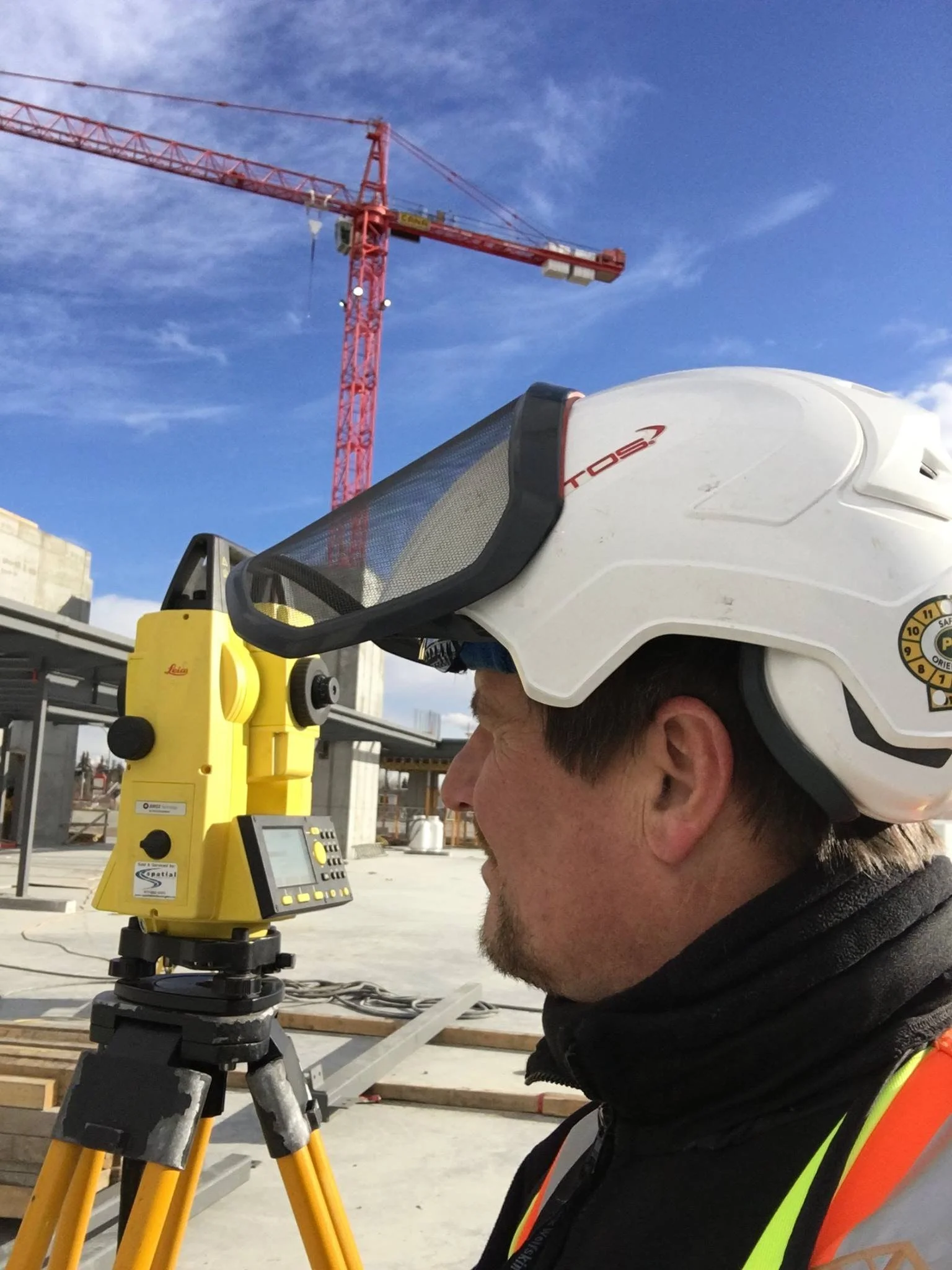
Leica Total Station Services
Unlock new levels of precision and efficiency with the cadwork Connect module, specially designed to facilitate seamless communication between your PC and Leica measuring instruments. Now, you can measure and draw simultaneously, enhancing productivity and accuracy in your projects.
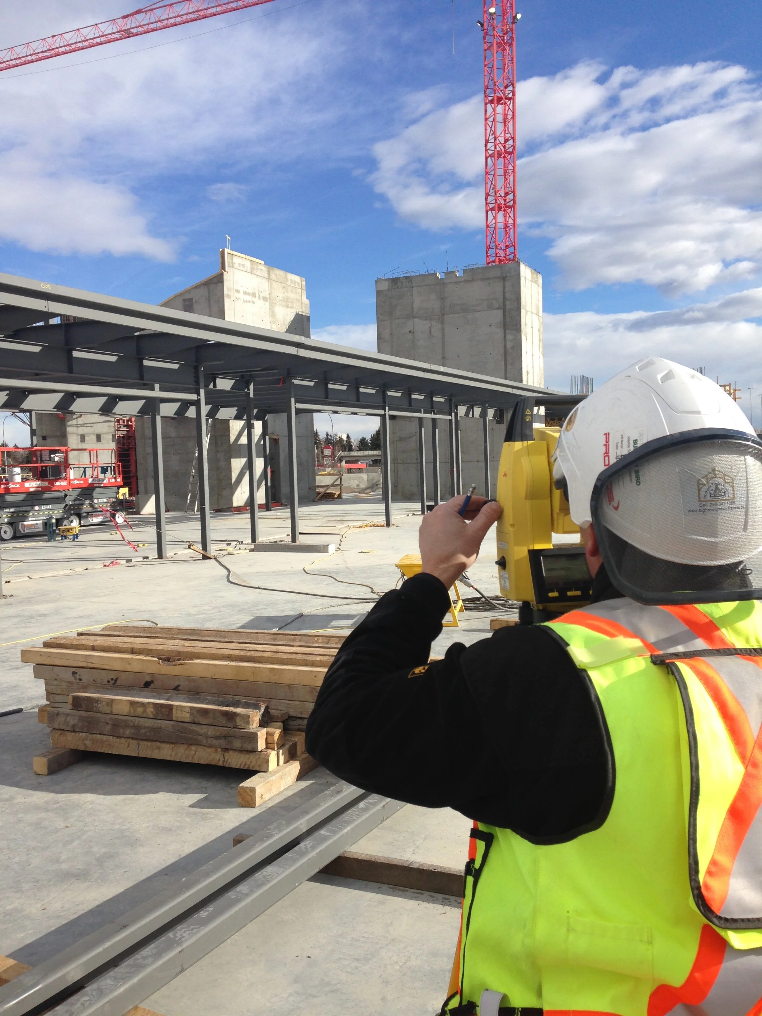
Leica Total Station
Add
Layout
Add
As Built Surveys or Design Survey
Add

Building utilities :
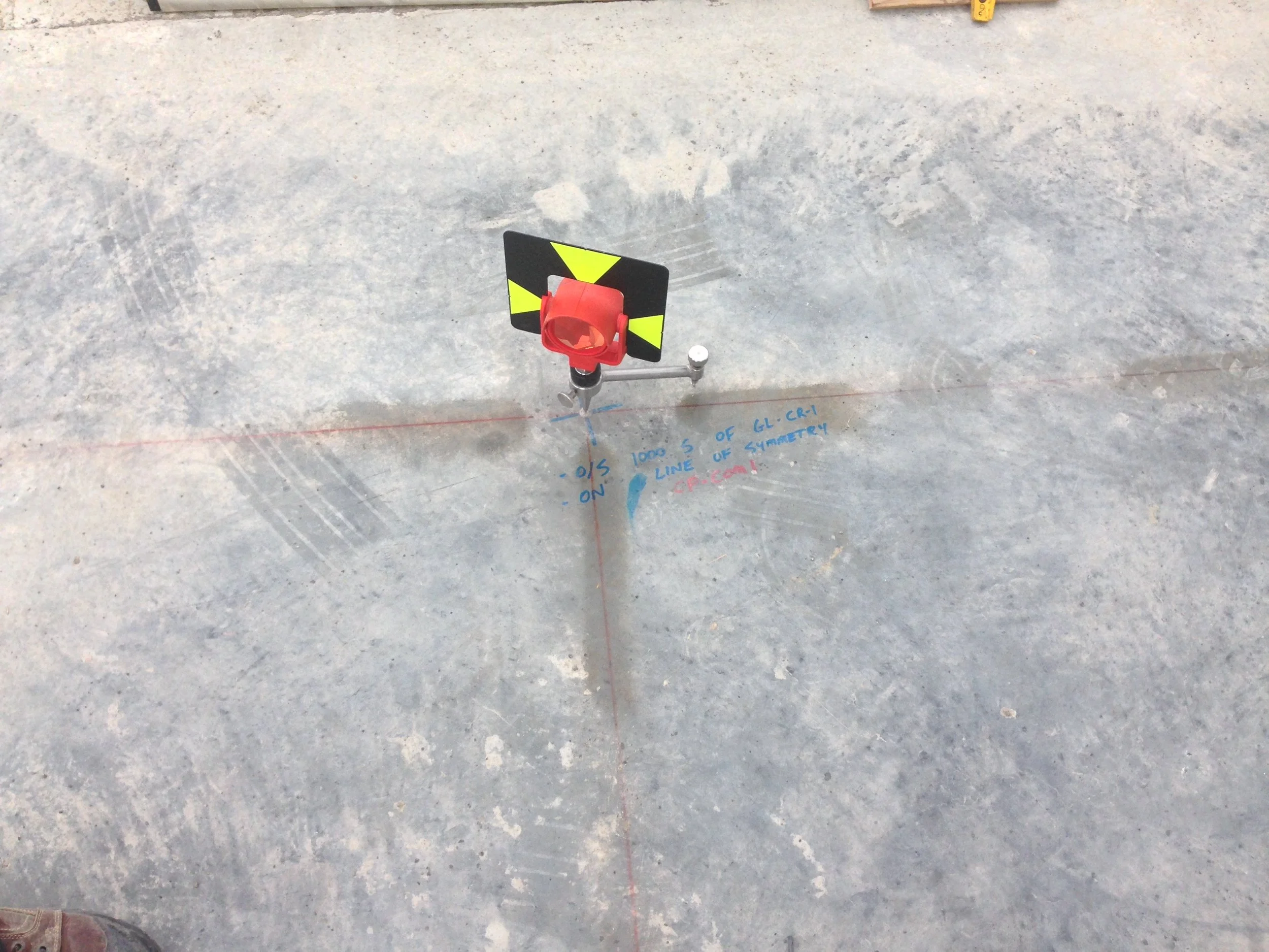
Different measurement points taken by a tacheometer (e.g., an existing building, a slab survey, etc.…) are transmitted directly to cadwork 3D.
The result appears in real time as nodes, lines and surfaces in cadwork 3D and cadwork Design.
The drawing can be revised directly in cadwork 3D and returned to the tacheometer. The device will precisely point at the changes made directly on-site.
Civil Engineering :
A three-dimensional terrain survey by a surveyor using a tacheometer can quickly be modelled in cadwork 3D via the Terrain module.
It is then possible to design and draw a structure in cadwork 3D, taking into account the real topography to exploit various information such as:
Fill volume / Excavation
Topographic data for stake-out
Production data (construction on sloped ground)
Landscape integration
Video Player.